Route: Journey to the centre of the Perth


Journey to the Centre of the Perth: a new off-road bikepacking route in Highland Perthshire.
Since moving to Perth over five years ago, I’ve been slowly piecing together an off-road route that would showcase the best off-road riding in Highland Perthshire. The aim was to create a route that could be both raced and enjoyed. For me, one of the best things about riding here is the relative proximity to resupply (and the subsequent ability to ride with very minimal luggage). Perhaps I’m just soft, but if you’ll hear me out, I think there’s a good argument for such riding.
Whether you intend to tour this route over five days, or race it as a lightning fast overnighter (dare I say, non-stop), I think it’s important to consider your value to the communities you’ll be passing through. I’ve created an itinerary with a list of local businesses en route, so consider leaving those zip-locked-freeze-dried-space-food packets at home and supporting these small businesses with your mouth (or more specifically, your wallet). I’d wager it’s possible to eat out for three meals a day along this route and carry nothing other than a few bars for the hours between your stops. Cycling’s already expensive enough though, so I don’t intend to say this to shame you into making this a luxury cycling holiday - unless your bike is adorned with carbon wheels and wireless shifting, in which case, reach into those deep pockets and eat your way around the Highlands.
Also, should you want a warm bed or a shower at the end of a long day, it’s possible to stay in one of eight youth hostels along the route.

ROUTE MAP
Route description
Starting in Perth, the route takes in a short lap of Kinnoull Hill. The trig point atop the summit affords a panorama that spans as far east as Mount Keen and the southern Cairngorms, and as far west as Ben Vorlich. As such, it’s pretty much the perfect viewpoint to get your bearings for this route.

From Perth, the route heads north along the river Tay, passing through Dunkeld, Aberfeldy then Blair Atholl before heading into the Cairngorms. The route will take riders through the National Park as far north as Tomintoul before heading south-west to Dalwhinnie on a mix of double track and well used singletrack paths.
On this part of the route, a stark contrast between the juxtaposed beliefs on land management are arguably more apparent than anywhere else in Scotland. In places, you’ll be surrounded by the last remnants of the Caledonian Pine Forest such as the Rothiemurchus estate, whilst in others, it’s seemingly possible to travel for hours through landscape desolated by muirburn without seeing a single tree.
While estates such as Mar Lodge or Rothiemurchus offer a snapshot of what once was, those like RSPB Abernethy or Glen Feshie offer a brief glimpse into our future.
*Mar Lodge estate do also have some extensive rewilding projects, though to my knowledge the route doesn’t pass through these parts of the estate which is why I’ve only referenced the ancient pine woodlands on the estate.
As cyclists, we benefit from land access rights in Scotland, so most of us will have ridden through a grouse moor at some point. Despite this, I feel like most are unaware of the extent of the damage caused by these estates.
Even within areas like our national parks, illegal raptor persecution - the murder of protected birds of prey - is still commonplace, with those responsible rarely held to account.
It's thought that 4% of our land mass is regularly set fire to in order to produce new heather growth for an artificially high population of grouse, which for the arousal of the ultra rich, are shot in their thousands.
Some 260,000 animals are trapped or snared on Scottish sporting estates each year to reduce animal populations which might compete with grouse, it's thought that 50% of these are non-target species like hedgehogs, dippers and mistle thrush.
This barely scratches the surface.
If you ride in these places, it's not enough to be passive in this debate. If you’ve ever benefited from nature, these places need your voice. Educate yourself on these issues and when called upon, give nature a voice and stand up for these places.
Revive.scot is a good starting point for information on this complicated subject. I had hoped to hold some interviews and discussions on this in the shop but that's on hold for the foreseeable with covid restrictions.
RSPB Abernethy
From Dalwhinnie, the route heads south-west along the banks of Loch Ericht. On a clear day, it might be possible to glimpse beyond Ben Alder to see the opposite end of the loch. It’s far more likely, however, that you won’t be able to see any further than a few kilometres down the loch through the lashing rain and that you’ll be more preoccupied by the possibility that you’re riding towards the end of the earth.
The route heads indirectly south-west to Corrour Station House before heading south to Loch Rannoch, where some 80km on from Dalwhinnie, you’ll now be able to spot the hydro that marks the south end of the Loch Ericht.
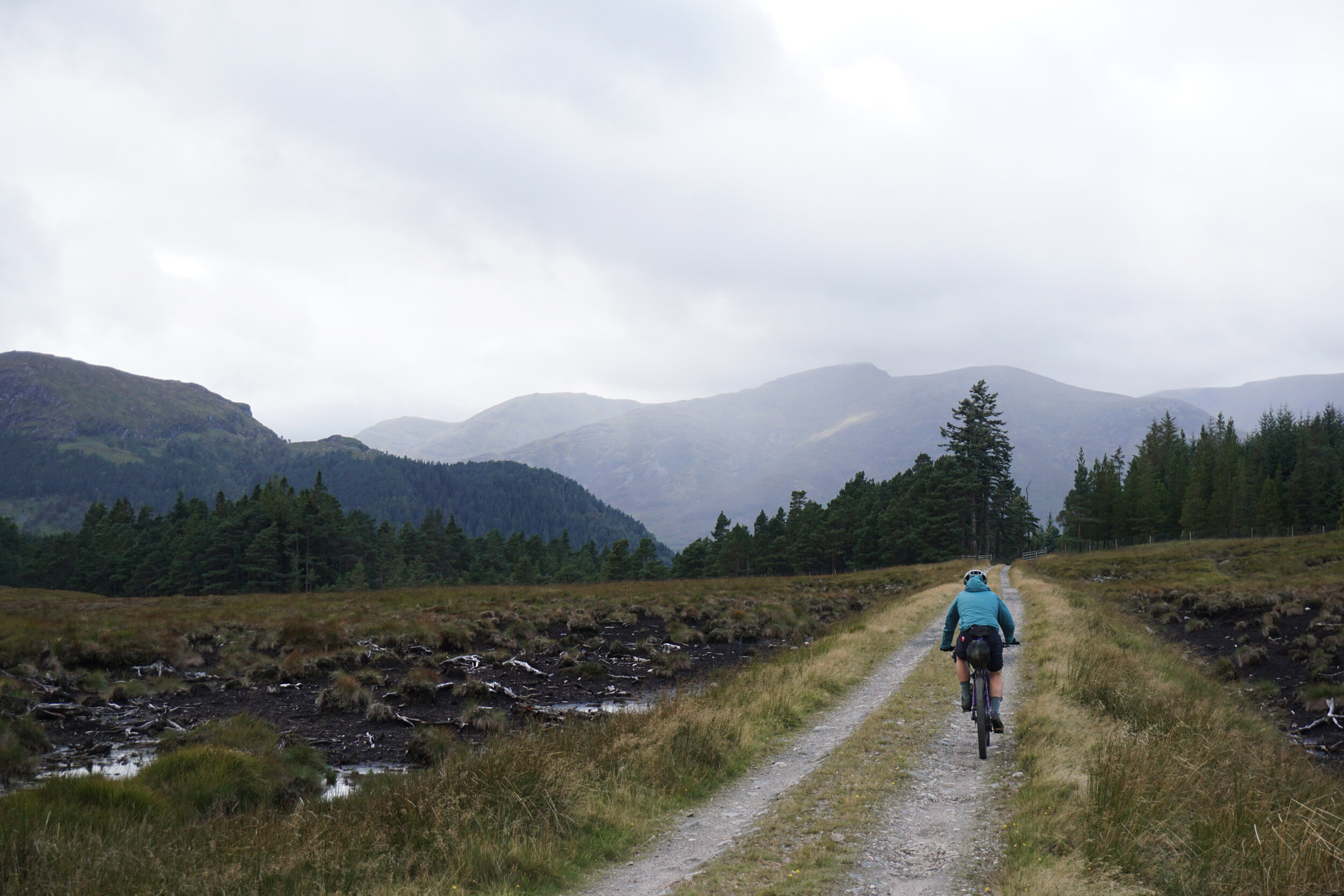
Then, continuing south, the route passes through the Black Wood of Rannoch and over a short pass into Glen Lyon. From here, the route heads south west to Loch Lyon and eventually, Tyndrum.
I’ll set out an itinerary later on, but for now, take a moment to mentally bookmark that the section between Dalwhinnie and Tyndrum is likely the most remote on this route. Around 150km of predominantly very well maintained double track separate the two villages and whilst it’s possible for most people to ride this in around 10 hours (without stops), my suggestion is that you leave Dalwhinnie with enough food to last 24hrs.
The reason I highlight this section in particular is that although it’s normally possible to stop for a meal at both the Corrour Station House and again at the Glen Lyon tearoom, it’s also possible that during busy periods, both venues will be too busy to serve you. Likewise, if you haven’t booked in advance, the Loch Ossian Hostel is often fully booked. Fear not, as the world-famous Green Welly Stop in Tyndrum awaits you.
At first glance, it would be easy for the uninitiated to assume that this is merely a small shop at a petrol station in the Scottish Highlands, but you’d be wrong. The Green Welly Stop is practically a rite-of-passage for the weary West-Highland traveller. A confluence of hungry pensioners disembarking from their coach busses, famished truckers, starving skiers and bedraggled backpackers meandering the mighty West Highland Way have chiseled this lonely outpost into annals of Scottish history.
From Tyndrum, you’ll head Southbound on the West Highland Way before crossing the River Falloch and heading south east through Glengyle to Loch Katrine.
I’d like to highlight that I’ve made every effort to avoid unnecessary hike-a-bike on this route, simply put, I don’t care for it. Bikes are meant for riding, not pushing, nor carrying, nor humphing. With the exception of a few kilometres through Glen Tilt, the passage through Glengyle to Loch Katrine is the only sustained section of hiking on this route. On a clear sunny day, it shouldn’t cause you much issue. It’s also possible to access Loch Katrine via the WHW along Loch Lomond to Inversnaid but this is more akin to bouldering with your bike than hiking.
During periods of prolonged heavy rain, I’d caution using the route through Glengyle as this region has recently experienced a number of landslides which have seen the road around Stronachlachar closed for many months.
UPDATE 2022: After leaving the gravel track on the NW side of Glengyle, there’s 3.5km of unrideable, often boggy quad-bike track before rejoining the doubletrack on the SE side of the Glen. I recently visited in December and completed this section in 30 minutes (excluding the ten minutes I spent taking photos) so even in wetter periods such as this it’s possible to push your bike through the grass for all but a couple of burn crossings and peat hags. It’s possible that in dry conditions that you might even be able to ride large parts of this but I walk pretty quickly, so I’d suggest you come mentally prepared to spend at least an hour here.
N.B. The first time I rode this section was at 1am in thick fog, without a clear path to follow it was easy to become disoriented. I’d advise against riding this in the dark unless you’re confident of good visibility (and your ability to navigate at night).
Heading east from Glengyle, it’ll soon become apparent why Aberfoyle is quickly gaining a reputation as one of the best regions in Scotland for gravel cycling. Within 50km of Glengyle, you’ll zip along a forestry track meandering between Loch Katrine, Loch Arklet, Loch Chon, Loch Ard, Loch Drunkie and Loch Venachar - do you even loch, bro?

Beyond the eastmost point of Loch Venachar, you’ll enter Callander. Around 140km (and four steep climbs) separate Callander and the finish in Perth. At this point, you’re probably thinking “I’d like to see more lochs” but fret not! Heading north from Callander you’ll soon be rewarded with stunning vistas across Loch Earn and Loch Tay.
A sharp climb from Ardtalnaig will reward you with a long descent through Glen Almond into the Sma’ Glen. From here, one climb remains and on a clear day, the high point of this pass offers a vast panorama from Strathearn and the Ochils in the west, as far south as the Lomond hills and as far east as the Tay estuary. Even on a dreich day, you can at least take comfort knowing that this point marks the end of the climbing on this route.
important information
Most of this route enjoys close proximity to towns and villages for resupply, accomodation or in some cases, even a train home. However, large parts of this route are several hours ride from the nearest A&E and any serious accidents will almost certainly require airlift to the nearest hospital, or at the very least, a call out for the local mountain rescue team.
I’m going to assume that it’s in your interest as much as mine, or the volunteers behind Scottish Mountain Rescue, that you don’t seriously injure yourself on this route, so I won’t lecture you on the importance of not stacking-it in the Scottish Highlands.
What I won’t condone, is anyone taking unnecessary risk on others behalf, either because they couldn’t be bothered or didn’t think to prepare before heading out. Whilst risk is something that we must each individually manage, it’s vital that before setting off on any ride that you do your bit to minimise the potential risk for those who you’ll be reliant upon should something go wrong (read as: prepare for the worst). A good start is making sure you don’t get too cold to fix your own problems (plan for minus temperatures, even in summer). As a follow up, don’t get lost and have enough food and water for when you do! If you’re not going to take a paper map and compass then that’s on you but at the very least, download a copy of the route to your phone that can be viewed offline and have a battery pack to charge it (I’d also recommend downloading an offline copy of google maps on your phone).
If you’re planning riding this route alone then I’d insist that you do so with a SPOT tracker (or similar), make sure that someone else knows your route as well as your expected timings and try to check in with them at least by text on a daily basis. Even if you’re riding in a group I’d recommend that at least one of you has a SPOT.
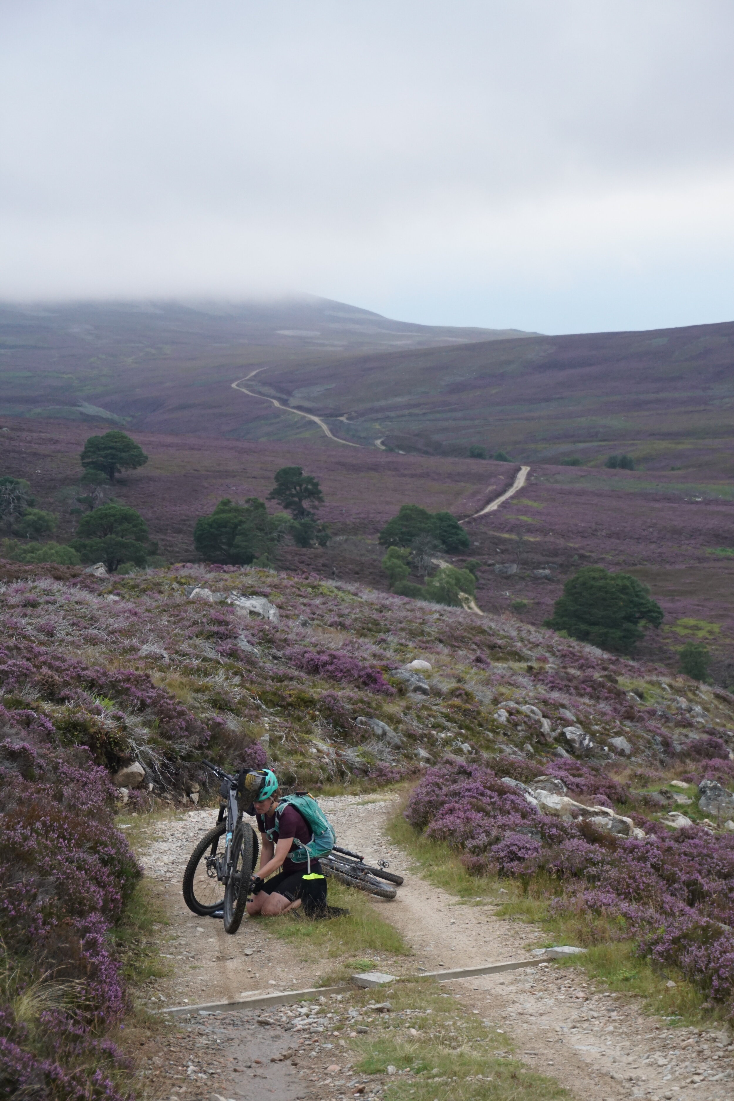
If by this point you’re still thinking about taking a gravel bike then I’d like to take the chance to strongly advise against it. Most importantly, you’ll have more fun on a mountain bike. Secondly, whilst it might be possible for some to make it round this route on a gravel bike in one piece, some of the descents on this route would be unreasonably dangerous on curly bars. Lastly, you’ll be faster on a mountain bike so there’s really no point in riding anything else.
A short travel (100-120mm) full-suspension mountain bike with 2.3’’-2.6’’ tyres would be the perfect bike for this route. However, I’ve also enjoyed large parts of this route on a 29 plus rigid mountain bike, so it’s possible that many riders won’t feel underbiked on a hardtail.
Whilst it’s possible that some will be able to race this route in under 48hrs (if you’re already thinking about this then I’d love to know - drop me an email at contact@bramblers.scot or message me on Instagram) I’d recommend that most people plan to ride this over five days. This will offer five challenging days for most but affords just enough time for a decent sleep and three proper meals throughout the day. For the uninitiated bikepacker, I’d plan for seven days to make the most of this trip. For those happy riding dawn until dusk and perhaps beyond, with just enough time to squeeze in a few hours sleep each night, three days should offer a meaty challenge.
As a rough guide, I think the fastest total ride time will be around 43hrs (that’s around a 16kph moving average). I think a reasonable target for most fit riders is between 53hrs total ride time (around a 13kph average) and 68hrs (just over 10kph average).
Lastly, I’d avoid riding this route during midge season and would advise against riding it between December and early March as much of the route will likely be covered in snow.
I’ll follow up this post with a suggested itinerary in the coming weeks, in the meantime, I’d be stoked to hear from you if you’re thinking about riding the route this year.